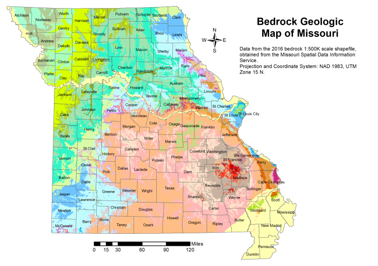
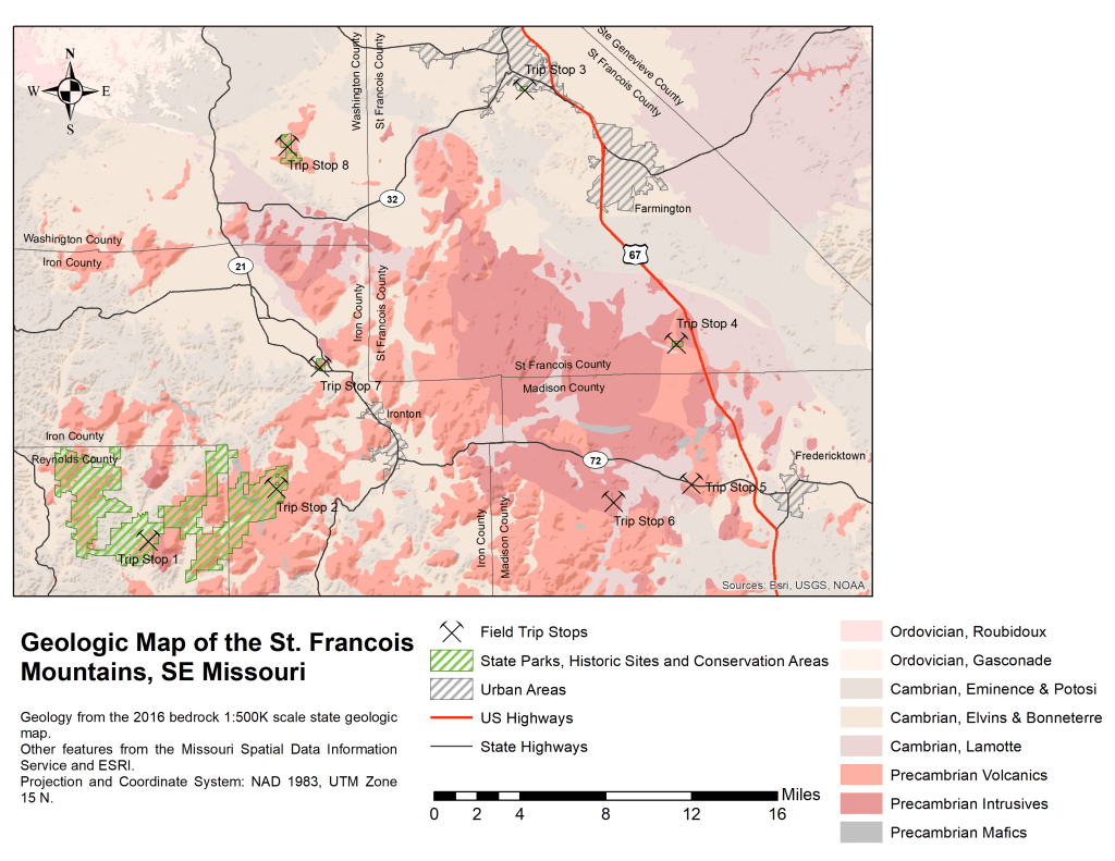
This was the first map that I made that required significant processing and integration of data from multiple sources. The map area is the St. Francois Mountains region of southeastern Missouri – the patch of bright red in St. Francois, Madison, and Iron counties south of St. Louis in the map at right. For three years while teaching in Ohio, I had accompanied a colleague on a field trip to this area every spring to examine the Precambrian (~ 1.4 billion year old) igneous rocks found there.
The final map (below) was an update to a figure that was included in the field trip guide issued to each student. It layers the state 1:500,000 scale bedrock geologic map (seen in full at right) over an Esri-provided terrain basemap. On top of this are layered various datasets from the Missouri Spatial Data Information Service, such as roads, towns, county outlines, and several state parks and conservation areas. Also shown is the location of each of the stops over the course of the three day field trip.