An online portfolio of recent GIS projects I have undertaken
Hawaii3
One thought on “Hawaii3”
Day 26 – Islands
Possibly my favourite map of the entire month. The image was processed in GoogleEarthEngine again from Sentinel-2 data and exported. Then laid over a hillside from SRTM data again, and finally surrounded with the same bathymetry data from GEBCO as in yesterday’s map. Lots of possibilities to further refine this one, especially given that Mauna Loa erupted for the first time in 40 years just days after this was made!
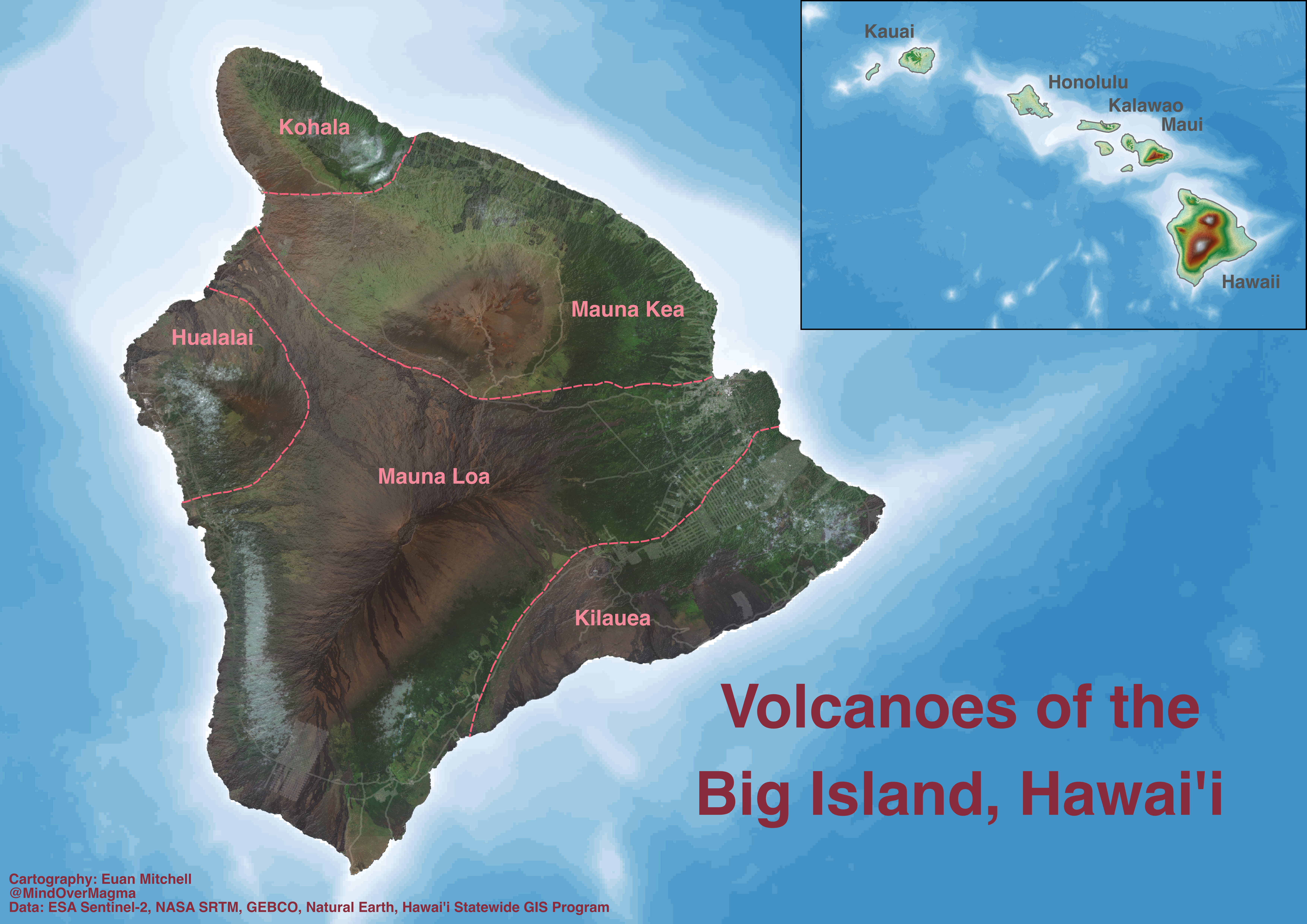
LikeLike